Archaeology

Most Viewed

Ancient Clay Tablet Unveils World’s Oldest Urban Blueprint for Nippur

Unveiling Iran’s Two-Million-Year Human History: A New Archaeological Perspective

Ancient Metallurgy Workshop and Monumental Structure Unearthed at Iran’s Sialk Site

New Archaeological Research Begins at Tal-e Rubahi Kenareh to Define Ancient Boundaries

Ancient Clay Tablet Unveils World’s Oldest Urban Blueprint for Nippur

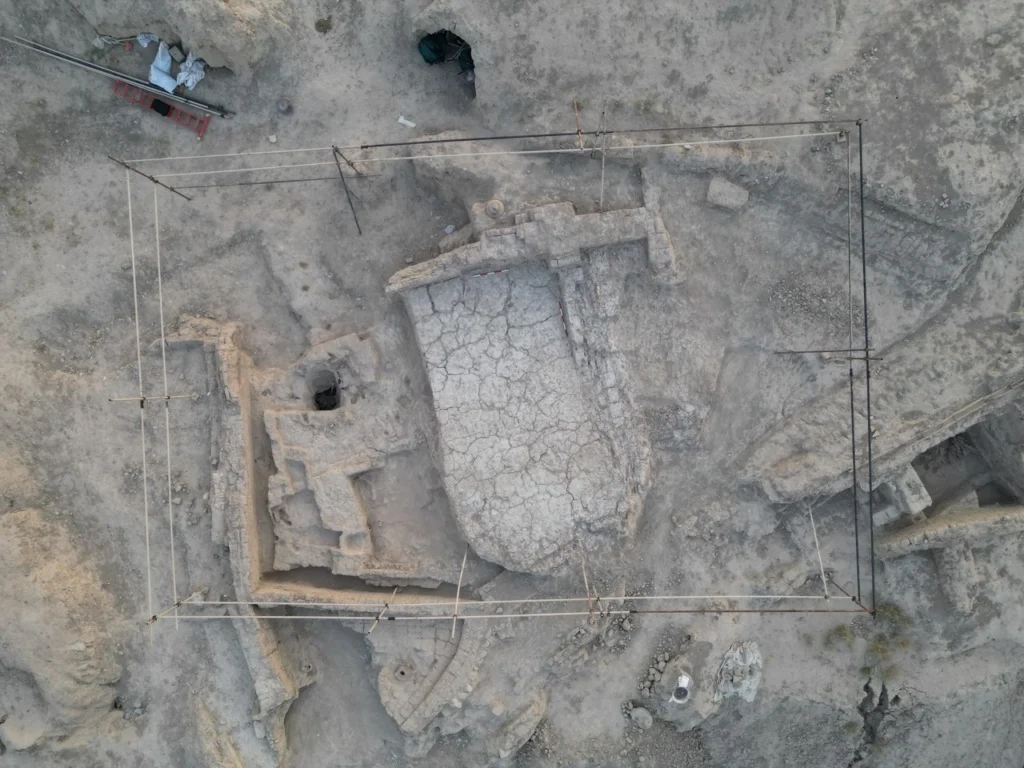
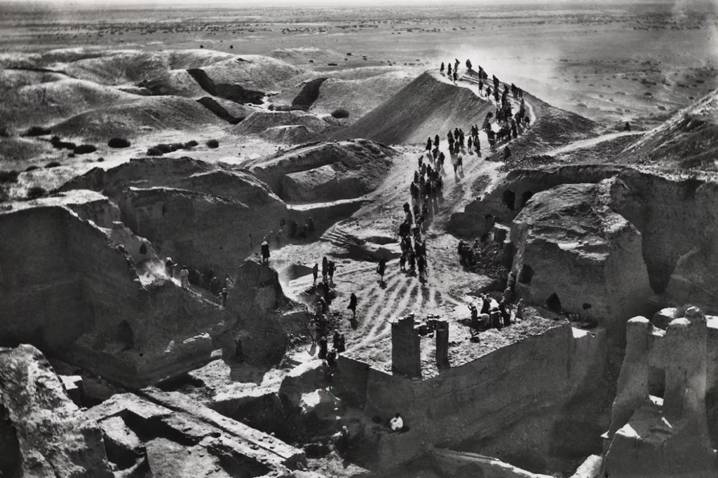
For decades, archaeologists considered a 3500-year-old clay tablet merely a rudimentary and inaccurate drawing. New research, however, unveils a surprising truth. This pottery piece, slightly larger than an adult’s palm, is actually a precise, scaled map of the ancient city of Nippur in Mesopotamia. It potentially represents the world’s oldest urban engineering plan. Researchers discovered this ancient Nippur map during 1899 excavations in modern-day Iraq. For decades, it puzzled them about its interpretation.

According to Jaddeh Makhsoos news agency, the story reached a turning point in the 1970s. At that time, McGuire Gibson, an archaeologist from the University of Chicago, observed aerial photographs of the Nippur region. He noticed a striking match between the lines on the tablet and the city’s wall remnants. Subsequent excavations at points indicated by the tablet revealed fortification remnants. Researchers proved this ancient map was “up to 10 percent” accurate, covering the entire city with an area of about 1.3 square kilometers.

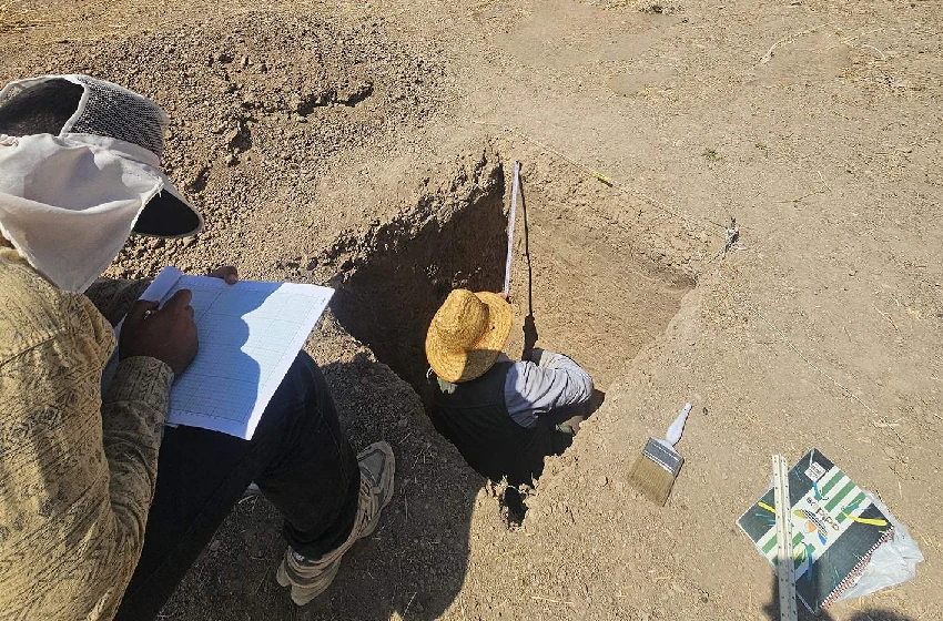
But how did its creators achieve such precision? Augusta McMahon, Professor of Mesopotamian Archaeology at the University of Chicago, states that people of that era were skilled surveyors. They used basic tools like knotted ropes and measuring rods. She adds that they likely used a form of early trigonometry to calculate angles. However, creating such an ancient Nippur map required incremental measurements and patient, painstaking calculations.

The map’s purpose also presents another mystery. Historical evidence shows Nippur’s inhabitants abandoned the city centuries before the tablet’s creation date. Then, a new dynasty of kings, the Kassites, seized power.

Jaddeh Makhsoos reports, Johannes Hackl, Professor of Assyriology at Friedrich Schiller University Jena in Germany, where the tablet resides, explains that Mesopotamian kings “considered construction their duty.” The Kassites began rebuilding Nippur’s ruined sections. This strongly suggests the clay tablet served not just as a map but as an engineering plan and roadmap for the city’s reconstruction. It stands as the oldest urban blueprint researchers have discovered globally.

This remarkable discovery reshapes our understanding of ancient urban planning. The detailed representation on the ancient Nippur map highlights the advanced capabilities of Mesopotamian engineers. It offers invaluable insights into their sophisticated surveying techniques and architectural foresight.

Unveiling Iran’s Two-Million-Year Human History: A New Archaeological Perspective

Archaeological evidence reveals the Iranian Plateau has hosted human settlements for nearly two million years, not just seven millennia. Various human species, from Homo erectus to Neanderthals, traversed this region, leaving lasting footprints. This discovery significantly reshapes our understanding of Iranian Plateau human history. Could Iran be a missing link in comprehending human evolution and dispersal?

According to Jadeh Makhsoos news agency, prominent archaeologist Fereydoun Biglari, citing Asian archaeological records, attributes human presence on the Iranian Plateau to over two million years ago. He states that the earliest inhabitants of this land preserved their survival across this geographical expanse. They relied on creativity, resilience, and adaptability to diverse environments.

Biglari estimates human presence on the Iranian Plateau dates back at least two million years. He explains that archaeological evidence places human origins in Africa, from where they gradually migrated to Asia. During this migration, Homo erectus lived in Georgia approximately 1.8 million years ago. They also inhabited the Indian subcontinent around 1.5 million years ago and China nearly two million years ago. Therefore, the Iranian Plateau undoubtedly hosted humans during this same period.

Biglari highlighted the formation of cultural and artistic foundations in prehistoric Iran. The Paleolithic or Old Stone Age represents the longest period of human history. During this era, humans subsisted by hunting and gathering, utilizing caves and shelters seasonally. Creativity, thought, and the ability to craft tools from stone, wood, and bone, followed by the emergence of symbolic artifacts, shaped our cultural and artistic foundations.

Jadeh Makhsoos reports, Biglari further discussed prominent ancient sites from this period in Iran. Darband Rashi Cave in Rudbar, Gilan, now within the UNESCO-registered Hyrcanian Forests, stands as crucial evidence for Iranian Plateau human history. Excavations there reveal that early humans interacted with species like cave bears, deer, and wild cattle between 200,000 and 250,000 years ago. Stone tools found in the cave and butchery marks on some bones demonstrate their daily skills and subsistence methods.

Biglari clarified that the oldest human species whose physical remains have been found in Iran is the Neanderthal. These humans emerged in Europe approximately 400,000 years ago and reached Iran between 100,000 and 200,000 years ago. Neanderthals were shorter than modern humans but possessed more muscular bodies. Their physical characteristics, including a sloping forehead, prominent brow ridges, spindle-shaped skull, large nose, and barrel-shaped chest, all adapted them to the cold, dry environments of the Ice Age.

He continued, “Archaeologists have primarily recovered Neanderthal remains in Iran from the western Zagros region. These include Bisotun, Wezmeh, and Yawan caves, as well as Shanidar Cave in Iraq’s northwestern Zagros, Kurdistan. These findings demonstrate that early humans on the Iranian Plateau not only possessed significant survival capabilities. They also established cultural and artistic foundations through their creativity and innovation, which root later prehistoric cultures in Iran.”

Biglari concluded by emphasizing that human habitation on this plateau spans nearly two million years. This contradicts the common belief that Iran’s human history is limited to the last 7,000 to 10,000 years. Understanding this extensive Iranian Plateau human history is crucial not only for archaeological research. It is also vital for comprehending Iran’s significant role in the history of human cultures and civilizations.

Ancient Metallurgy Workshop and Monumental Structure Unearthed at Iran’s Sialk Site

The third phase of the Sialk archaeological reassessment project, which began in 2022, is now in its fourth season, yielding significant discoveries. This phase aims to answer fundamental archaeological questions and prepare the site for public display, with recent findings including a metalworking workshop, a massive mud-brick platform, and residential remains that add new layers to the ancient history of this location.

According to a report by Jadeh Makhsous news agency, the long-term Sialk reassessment research program was initiated in 2001. The first phase was conducted from 2001 to 2005, followed by the second phase between 2008 and 2009. The current third phase, which started in 2022, is now advancing with its fourth season of excavations.

The primary objective of this stage is to address specialized and foundational archaeological inquiries concerning Iran’s central plateau, spanning from the Neolithic period to the beginning of the Achaemenid era. Concurrently, the project focuses on creating the necessary infrastructure to showcase the unearthed artifacts to both domestic and international tourists.

In the fourth season, research has centered on trenches O.29 and P.29, continuing last year’s excavations to gain a deeper understanding of the site’s most recent layers. One of the most important achievements has been the discovery of a workshop space from the Sialk III period (approximately 5,500 to 5,300 years ago). This area, measuring about 2.5 by 3 meters, features a horseshoe-shaped furnace and heat-affected sections, indicating a workshop related to metallurgy, specifically copper.

According to a report by Jadeh Makhsous, this season also revealed a large mud-brick platform (mastaba) from the Sialk VI period (approximately 2,800 to 2,600 years ago). Evidence suggests this structure, along with a massive mud-brick building and a ceramic water channel discovered in a previous season, was part of a comprehensive and organized urban development plan during the Median period.

Other findings from this season include a probable residential space with mud-brick walls located beneath the platform. So far, two rooms have been identified, and excavations are ongoing.

Upon the conclusion of the fourth season, it is expected that a more precise and comprehensive understanding of the life of Sialk’s inhabitants during the final stages of settlement at this valuable ancient Iranian site will be achieved. This knowledge represents a crucial step in reinterpreting the history of the ancient civilization of the central plateau.

What are your thoughts on these ancient technological advancements? Share your perspective in the comments below.

New Archaeological Research Begins at Tal-e Rubahi Kenareh to Define Ancient Boundaries

A new research project titled “Determining the Boundary and Proposing the Buffer Zone of Tal-e Rubahi Kenareh” has commenced in Marvdasht County, Fars Province. The project is being carried out with a permit from the Research Institute of Cultural Heritage and Tourism and in collaboration with the Persepolis World Heritage Site.

According to a report from the Jadeh Makhsous news website, Fazlollah Habibi, the head of the archaeological team at Tal-e Rubahi Kenareh and an expert at the Persepolis World Heritage Site, is leading the initiative. He emphasized the significance of this prehistoric archaeological site.

The prehistoric archaeology researcher stated that the primary goals of this project are to precisely define the site’s boundaries and establish a protective buffer zone. This will help in preserving the historical integrity of the area for future study and tourism.

Regarding the project’s objectives, the head of the archaeological team explained that the research aims to prevent any potential damage to the site from surrounding activities and to create a clear legal framework for its protection.

According to Jadeh Makhsous, Habibi also discussed the financial aspects, confirming that the necessary funding for this crucial research has been secured, allowing the project to proceed as planned.

The archaeologist noted that so far, the project has involved the creation of 13 test pits, each measuring one by one meter, to gather preliminary data. The expert from the Persepolis World Heritage Site added that the findings from these excavations will be crucial for understanding the extent and significance of the ancient settlement.

What are your thoughts on the importance of such projects for preserving cultural heritage? Share your opinion in the comments below.